 |
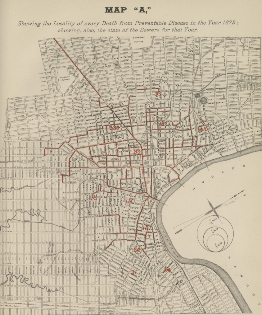
| 1880 (map). Map A from Dr. Edgar Holden’s Mortality and Sanitary Record of Newark N.J. (1880). This map documents “every Death from Preventable Disease in the Year 1872,” according to Holden’s research. Each black dot represents a death. Holden determined that “preventable” deaths were not linked to proximity to open sewers, a finding which surprised him. (Special Collections, George F. Smith Library of the Health Sciences) |